Geographic Information Systems (GIS)
What is GIS?
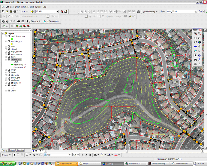
Geographic Information Systems (GIS) is the use of computer hardware and software combined with the
management of spatial databases. A spatial database is a database that is
directly linked to physical features in the real world. This link creates a very
powerful tool for local governments by allowing employees to manage, analyze,
and model the very assets it is responsible for. Detailed maps and databases are
used as a result of GIS technology.
How is GIS used at the City?
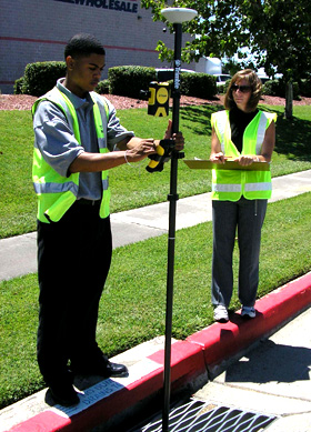 The City of Antioch’s Public Works Department has implemented GIS to aid in the management of its Water
Distribution System, Sanitary Sewer Collection System, and Storm Water
Collection System. The City of Antioch is unique in the sense that it maintains
all three of these Public Utility Systems, including the production and
distribution of its own drinking water. For each one of these public utility
systems a city-wide asset inventory and extensive databases have been created
using GIS technology. This GIS data allows City staff to track asset
depreciation, model each system through network connectivity, create maintenance
schedules for assets, and serve as a reference in emergency situations.
The City of Antioch’s Public Works Department has implemented GIS to aid in the management of its Water
Distribution System, Sanitary Sewer Collection System, and Storm Water
Collection System. The City of Antioch is unique in the sense that it maintains
all three of these Public Utility Systems, including the production and
distribution of its own drinking water. For each one of these public utility
systems a city-wide asset inventory and extensive databases have been created
using GIS technology. This GIS data allows City staff to track asset
depreciation, model each system through network connectivity, create maintenance
schedules for assets, and serve as a reference in emergency situations.
Other areas throughout the City that use GIS technology include:
- General Plan Landuse
- Zoning Designations
- Public Notifications
- Economic Development
- Neighborhood Improvement Services
- Engineering Services
- Data 911 dispatch
- Crime Analysis
- Street Maintenance Program
- Parks and Facilities
|